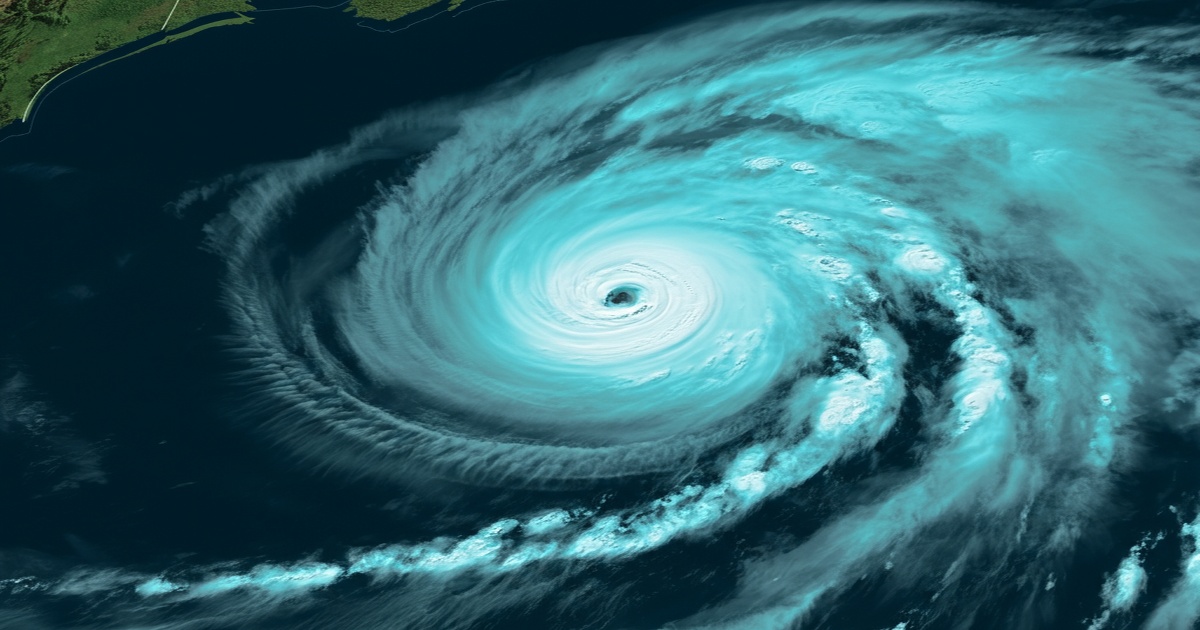
Hurricane Erin generated significant waves along the mid-Atlantic coast on Thursday, subsequently moving out to sea after impacting North Carolina's Outer Banks with strong winds and swells. The storm caused flooding in certain areas of the barrier islands.
The threat of dangerous rip currents and coastal flooding is expected to persist from the Carolinas to New England throughout the weekend, even as the storm is predicted to weaken as it moves further away from the East Coast. Damage assessments were ongoing on the Outer Banks, and additional flooding was possible during high tide on Thursday evening. However, the low-lying islands appeared to have avoided widespread destruction during the initial impact of Erin on Wednesday.
Tropical storm warnings remained in effect along the coasts of North Carolina and Virginia, as well as on the island of Bermuda, where residents and tourists were advised to avoid the water until Friday. Coastal communities along the mid-Atlantic and southern New England coasts could experience tropical-storm-force wind gusts through early Friday, according to the National Hurricane Center.
Beaches in New York were closed to swimming on Thursday, but this did not deter surfers from taking advantage of the waves at Rockaway Beach in Queens. Experienced surfers found the conditions ideal, despite the challenging rip currents. Nantucket Island, off the coast of Massachusetts, could see waves exceeding 3 meters this week.
Authorities along the coast had been warning about potentially deadly rip currents throughout the week. Coastal erosion was a major concern in many beachfront communities, with waves in North Carolina estimated as high as 5.5 meters on Thursday morning. The Outer Banks, known for their vulnerability, were closely monitored.
Dare County officials reported that, fortunately, the worst-case scenario of new inlets forming had not occurred, and there was no significant structural damage to homes or businesses. The Hatteras Island Rescue Squad reported no rescue calls overnight. Waves did breach dunes on Hatteras and Ocracoke Islands, leading to the closure of parts of Highway 12 and cutting off Ocracoke's connection to its ferry terminal.
At Jennette’s Pier in Nags Head, where sustained winds reached 72 kilometers per hour, people were taking photos of the large waves crashing into the structure. The storm, which has fluctuated in intensity, is unusually large, spanning over 965 kilometers. As of late Thursday morning, it remained a Category 2 storm with maximum sustained winds around 160 kilometers per hour, located approximately 455 kilometers east of Cape Hatteras. The hurricane center was also monitoring two tropical disturbances in the Atlantic.


5 Comments
Coccinella
Closing the beaches is a knee-jerk reaction. It feels like an overreaction; we need better strategies for dealing with storms.
Leonardo
The coastal erosion problem isn’t being taken seriously enough. We need significant changes to how we manage our beaches.
Michelangelo
Flooding and destruction seem to be an annual event now. Why aren’t we better prepared for these storms? It's frustrating!
Leonardo
Great to hear that there were no serious injuries! Thanks to emergency services for their hard work.
Donatello
This storm is just another example of climate change affecting our coastlines. We need to do more to address the root cause instead of just reacting.