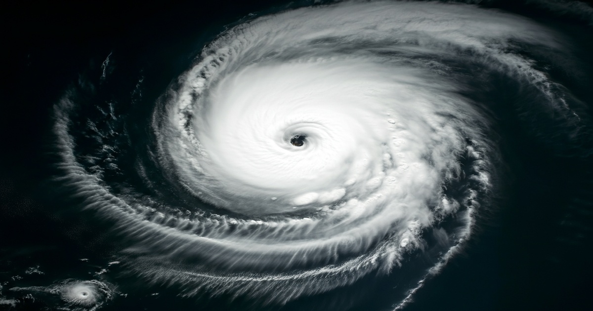
The National Meteorological Center has indicated that Typhoon Wutip, which is anticipated to be the first typhoon of the year, will start to form around Wednesday and is likely to make landfall in South China over the weekend, bringing significant rainfall to the provinces of Hainan and Guangdong. A tropical disturbance, characterized by a disorganized collection of thunderstorms, is expected to develop into a typhoon by midweek.
Once Wutip forms, it is expected to gradually approach the central coastal areas of Guangdong and southern Hainan, potentially reaching the strength of a severe tropical storm or a typhoon, with wind speeds estimated to be between 25 to 33 meters per second. This year's first typhoon is notably forming over two months later than the typical date of March 25, as reported by Xiang Chunyi, a senior engineer at the National Meteorological Center.
Xiang explained that an unusually large and strong subtropical high-pressure system has created descending air currents over tropical waters, which has hindered the tropical convection essential for typhoon formation since May. Additionally, the position of the intertropical convergence zone this year has been notably further south and has moved northward slowly, coupled with a delayed start of the summer monsoon in the South China Sea, which has contributed to the late formation of the typhoon.
Xin Xin, a chief weather analyst at China Weather, shared on Weibo that the anticipated strength of Typhoon Wutip at the time of landfall is expected to be relatively low. He noted that, because it is a "native typhoon" forming near the coast of the South China Sea, it will not become very intense upon making landfall, though heavy rainfall will still be a concern for South China.
In light of the approaching typhoon, the National Emergency Broadcast has urged residents in coastal regions of South China to pay close attention to weather updates and take preparedness measures. It is advised that residents seek shelter in rooms with few to no windows, such as bathrooms, and to secure doors, windows, and outdoor equipment against potential damage.
Furthermore, the broadcast recommended applying X-shaped tape to windows to help mitigate glass breakage. For those outdoors during the typhoon, it is best to avoid sheltering near billboards, large trees, or towers and to refrain from walking on embankments or bridges near water to reduce the risk of being swept away. After a strong typhoon has passed, it is crucial for individuals to remain in their shelters, as conditions may remain dangerous with winds returning shortly after a calm period.


0 Comments