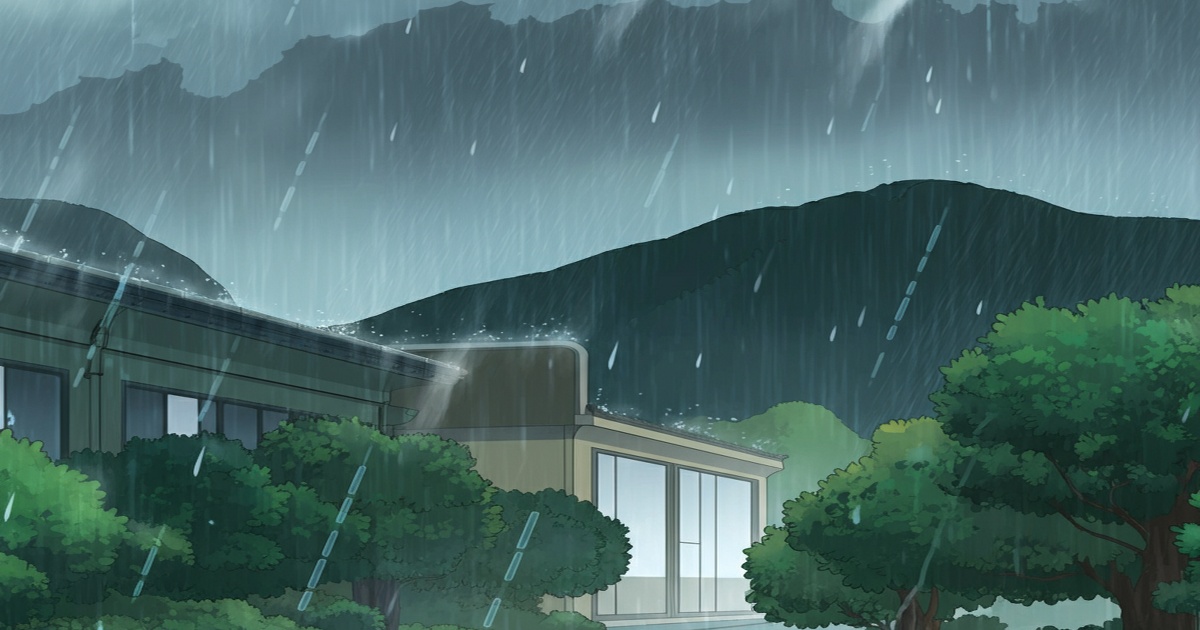
Heavy rainfall is anticipated primarily in the Kyushu region of southwest Japan, as well as across western and eastern Japan, continuing through June 11. This weather pattern is attributed to warm, moist air interacting with a seasonal front.
Intermittent rainfall has already been observed in Kyushu. On June 9, shortly after 7 p.m., the Japan Meteorological Agency (JMA) reported the formation of a linear precipitation zone in Kagoshima Prefecture.
The seasonal rain front is projected to shift northward and remain stationary over western and eastern Japan until June 11. There is a potential for exceptionally heavy rainfall, accompanied by thunderstorms, especially within the Kyushu region.
Forecasted 24-hour rainfall totals, ending at 6 p.m. on June 10, are expected to reach up to 200 millimeters in northern Kyushu, 180 mm in southern Kyushu and the Kinki region of western Japan, and 100 mm in the Chugoku region. For the 24-hour period ending at 6 p.m. on June 11, rainfall is predicted to be up to 120 mm in southern Kyushu and 100 mm in northern Kyushu.
The heavy rain may persist in western Japan later in the week and beyond. The JMA is advising the public to stay informed by consulting the most recent weather updates.


0 Comments