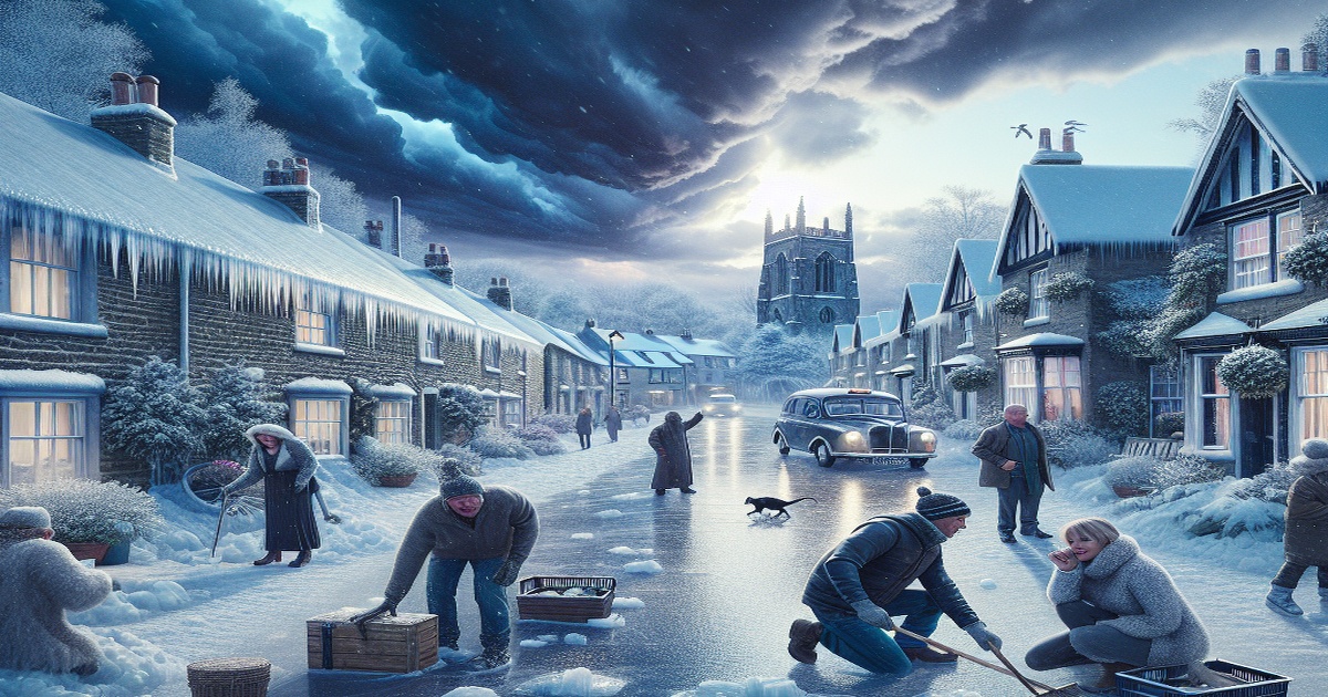
The Met Office has cautioned that some regions in northern England could experience snow and ice this weekend, with a particular risk of freezing rain. This form of precipitation, which is uncommon in the UK due to the specific atmospheric conditions required, can lead to significant hazards, especially in the higher areas of the Pennines where altitudes exceed 200 metres.
Freezing rain begins its journey high in the atmosphere as snow, ice, sleet, or even hail but transforms as it descends. It passes through layers of warmer air which melt the solid precipitation, only to refreeze upon encountering colder temperatures close to the ground. This process results in a thin but dangerous layer of clear ice that envelops surfaces.
The danger posed by freezing rain is multifaceted. The heavy, accumulating ice can weigh down trees and power lines, potentially causing them to snap or fall. Moreover, the slick, near-invisible layer of ice—often referred to as black ice—renders roads and walkways extremely hazardous for pedestrians and drivers alike. Aircraft are also at risk, as the formation of icicles on wings can disrupt normal operation and flight safety.


7 Comments
Noir Black
“They’re hyping up a weather event that rarely causes any real harm. Let the people decide for themselves.”
Eugene Alta
“Too many warnings make us numb. This is just another overstatement from the Met Office.”
Katchuka
“Honestly, this is just fear-mongering. I've seen similar forecasts before that turned out to be nothing.”
Eugene Alta
“I think they’re using technical jargon to make a simple forecast seem far more dangerous than it ever is.”
Noir Black
“This is exactly the kind of clear, technical briefings we need to protect ourselves during unpredictable weather.”
Leonardo
I appreciate this thorough explanation and will take extra care on the roads this weekend.”
Raphael
“The explanation might be true, but the tone is too dramatic; not every chill is a catastrophe waiting to happen.”